
Groundwater is the lifeblood of West Texas, but in many parts of the region, scientists and water managers lack the long-term data needed to understand how aquifers are changing over time.
The Meadows Research Institute for West Texas Water at Sul Ross State University is working with groundwater conservation districts and other partners to expand strategic groundwater monitoring across the region. The goal is not simply to monitor more wells, but to collect long-term data from carefully selected locations that can help fill gaps in what is known about West Texas aquifers.
“The more we know about how groundwater levels change over time, the better we can understand how these aquifers work,” said Dr. Kevin Urbanczyk, senior research scientist at the Meadows Research Institute. “We need to track water levels, establish baseline conditions and build groundwater records. That helps us identify long-term and seasonal changes and distinguish those from pumping-induced changes.”
The amount and frequency of monitoring vary widely across the Big Bend region. Presidio County has 22 wells being monitored daily, compared with three in Brewster County. Jeff Davis County has wells that are measured annually. While those annual readings are helpful, more frequent measurements can provide a much clearer picture of how groundwater levels are changing.
Trey Gerfers, former general manager of Presidio County Underground Water Conservation District, helped develop that district’s monitoring network during eight years of service as a board member, board chairman and general manager. He said it’s crucial to begin building a record that will become more valuable as demands on groundwater increase.
“Once the data centers go in, or the minute some other big water user shows up, it’s almost too late because you don’t have your baseline,” Gerfers said. “You don’t understand where you started from. So now is the time. This is when we need to get the monitoring started and going.”
At its most basic, groundwater monitoring means measuring the water level in a well. Equipment can be installed in some wells to take readings on a regular basis. Staff still visit periodically to check the equipment, and some wells may also be used for pumping tests or water sampling.
But not every well is a good candidate for monitoring. Location matters, as does the way the well was constructed and whether it is regularly pumped. Researchers are looking for wells that can help answer specific questions and fill gaps in what is known about the region’s aquifers.
Many of the best candidates are on private land, so landowner participation is important.
That is one reason the Meadows Research Institute plans to work closely with local groundwater conservation districts, whose board members and staff often have long-standing relationships within their communities.
“We want to have our boots on the ground alongside them,” Urbanczyk said. “We want to work with local groundwater districts and help where we can. Oftentimes, they are the best connection to local well owners.”
For participating landowners, monitoring can provide valuable information about their own water resource. In Presidio County, well owners receive a hydrograph showing how their groundwater levels change over time.
“It is in their best interest to understand what their wells are doing,” Gerfers said. “Groundwater is a private property right, and landowners benefit from knowing how that resource is changing over time.”
Expanding groundwater monitoring is among the priorities outlined in the Meadows Research Institute’s 2026–2030 Strategic Plan. The plan calls for increasing access to well-monitoring data, developing partnerships to secure monitoring locations on private and public lands, and working with regional partners to address barriers to groundwater monitoring.
The Meadows Research Institute can also provide expertise that local groundwater conservation districts may not have on staff. Researchers can help identify gaps in existing data, develop monitoring and research projects and work with districts to carry them out.
“We’re going to help with the monitoring because we are good at that, but we’re also going to help with advancing the science,” Urbanczyk said. “You can look at water levels and you can measure them and see trends, but somebody’s got to relate that to how the aquifers function. We’re the hydrogeologists who can do that.”
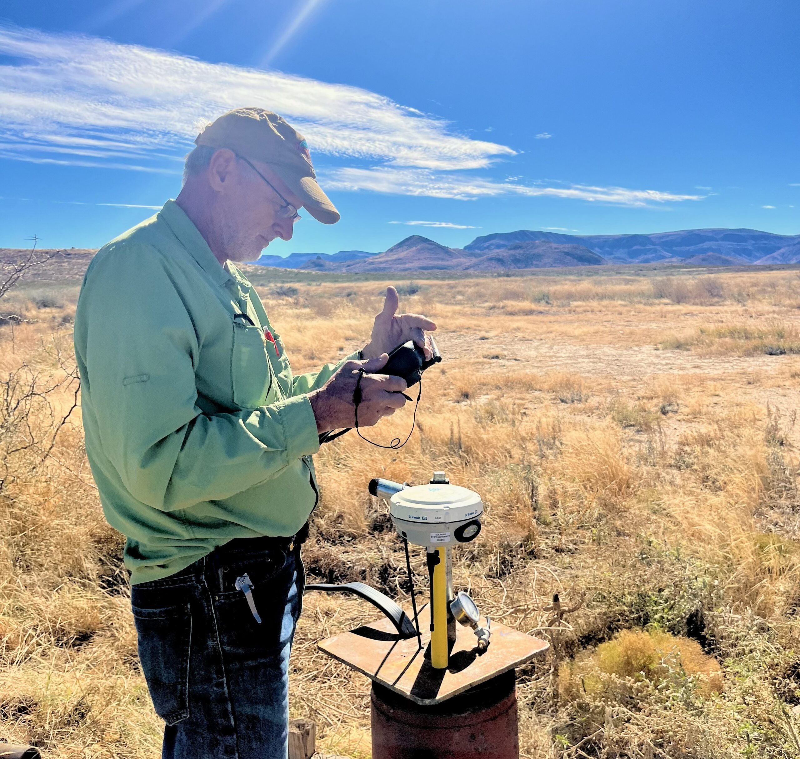
Photo: Dr. Kevin Urbanczyk. Travis Dimler photo