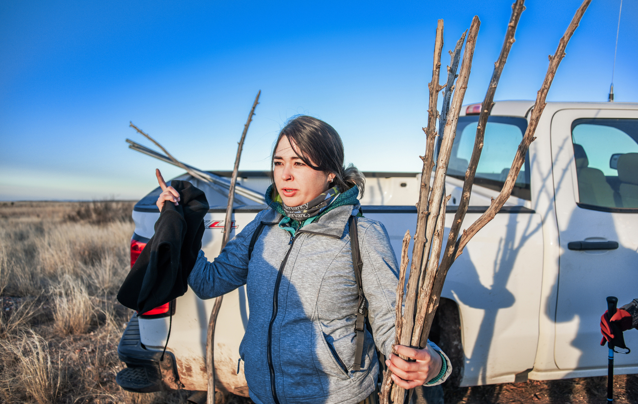
• courtesy of Dr. Mieke Titulaer and Fabiola Baeza •
Over the past five decades, grassland bird populations overwintering in the Chihuahuan Desert have declined by 70 to 80 percent, and scientists at the Borderlands Research Institute are currently trying to discover the cause or causes for this decline.
BRI research led by Dr. Mieke Titulaer is focusing on Baird’s and grasshopper sparrows in the Marfa grasslands—with data collection taking place at the Dixon Water Foundation’s Mimms Ranch near Marfa.
Fabiola Baeza is a Sul Ross student working towards her master’s degree. Her objectives are primarily to assess bird-habitat relationships to better understand the ecological requirements of these two grassland obligates during the winter.
Forming a part of this Marfa grassland bird research, Baeza’s thesis project is centered on the birds’ habitat because it plays such a crucial role in their persistence. The main objectives of her project are to:
- Evaluate bird habitat preference based on vegetative cover
- Determine bird preference based on seed biomass on the soil seedbank
- Map the study area using an eBee drone to obtain high quality imagery to assess vegetative cover and compare vegetative estimates from the drone imagery to on-ground vegetation surveys and compare its results
- Relate habitat measurements from 1-2 to relate to habitat utilization by Baird’s sparrows and grasshopper sparrows to develop a predictive model for the species
Achieving these objectives requires following the steps outlined below:
- Birds are trapped using 3-4 12-meter long mist nets placed in dense grass patches. Groups of 10-15 people form a semi-circle at least 200 meters away from the nets and use the method of herding birds into mist nets. To keep the birds from flying out of the net, flying discs and bamboo sticks are used to try to keep the birds inside the semicircle.
- Once captured, birds are immediately removed from the mist net and kept in a cloth bag for transport to the processing station.
- A captured bird is banded using a unique United States Geological Survey (USGS) metal ring #1.
- Morphological measurements such as weight, wing chord, tail length, culmen, and tarsus length are taken. Fat is scored by looking at the bird’s furcula for fat accumulation.
- Feather molt is assessed and age determined if possible.
- One retrix 4 feather is collected per individual and sent to a laboratory to test for isotopes and determine the sex of the bird.
- A Very High Frequency transmitter is placed on the bird’s synsacrum as a ‘backpack’ (not to exceed four percent of the bird weight) to allow tracking individuals daily and to obtain a GPS location for the birds. Birds not reaching the minimum weight requirement of 15.5 grams are banded and released without a transmitter.
- Once birds are processed, they are released at the same location where captured.
- Birds are tracked every day from mid-December to mid-March using the telemetry triangulation method to obtain a bird location that is not influenced by human disruption.
- Prior to 45 days post-capture, bird recapture is attempted to facilitate replacing the transmitter, and at the end of the season to remove the transmitter before migration.
Part of Baeza’s thesis is also to explore how historical shrub encroachment has degraded grassland bird habitat and to identify priority restoration areas based on satellite imagery. She will map grasslands in the Trans-Pecos using satellite imagery to document historical shrub encroachment and present grassland condition, and to identify priority areas for potential restoration based on soil response to chemical treatment.
More photos and videos of a recent day of bird recaptures can be viewed HERE.
