College of Agriculture, Life, & Physical Sciences

GEOLOGY

GEOLOGY

Bienvenido, welcome, to the Geology Program at Sul Ross State University located in the heart of the Trans Pecos region and the Chihuahuan Desert. Below you will find brief answers to some questions you may have.

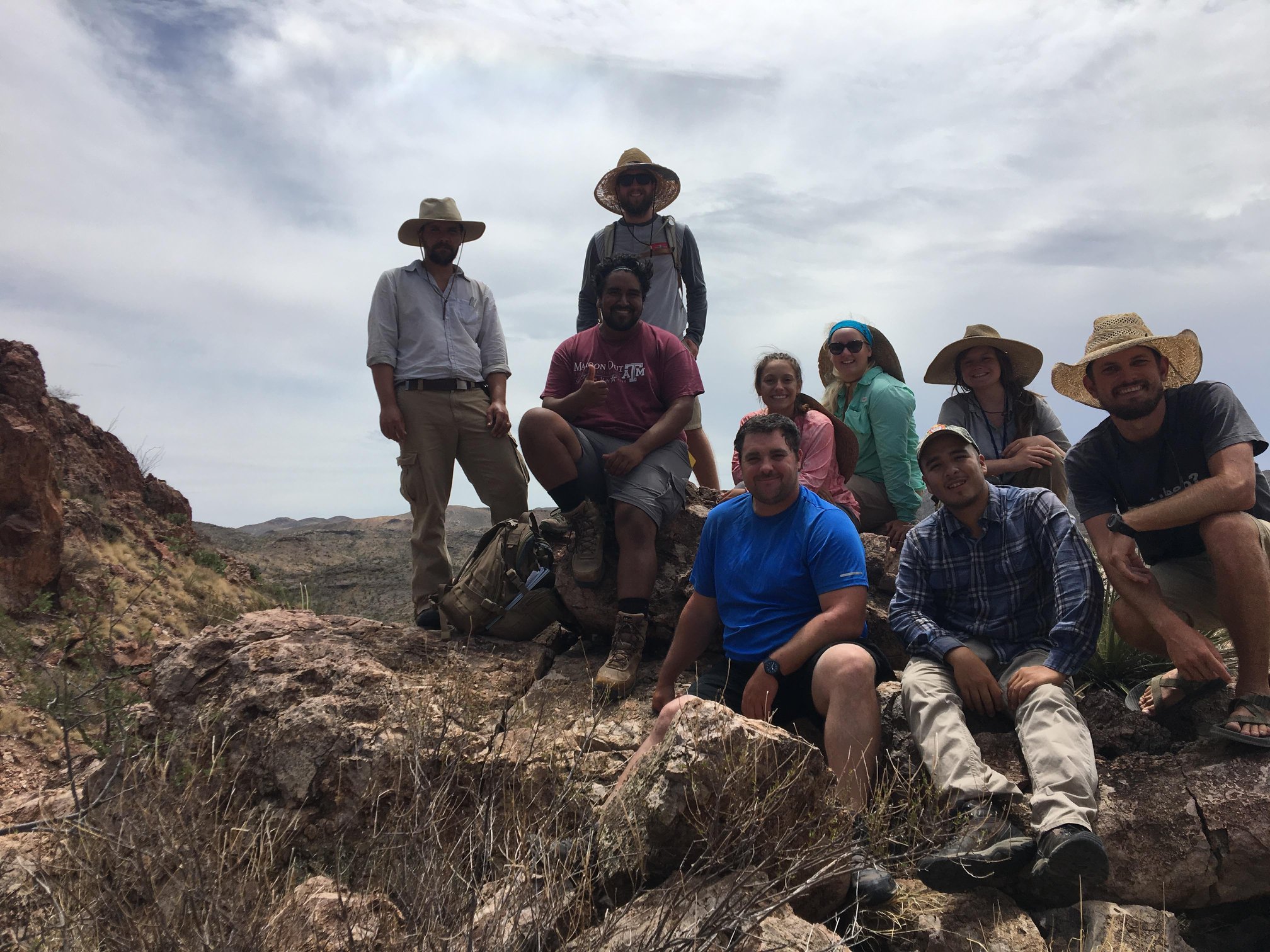
WHO: The Geology Program is a friendly, dedicated community of faculty, staff, and students, both graduate and undergraduate.

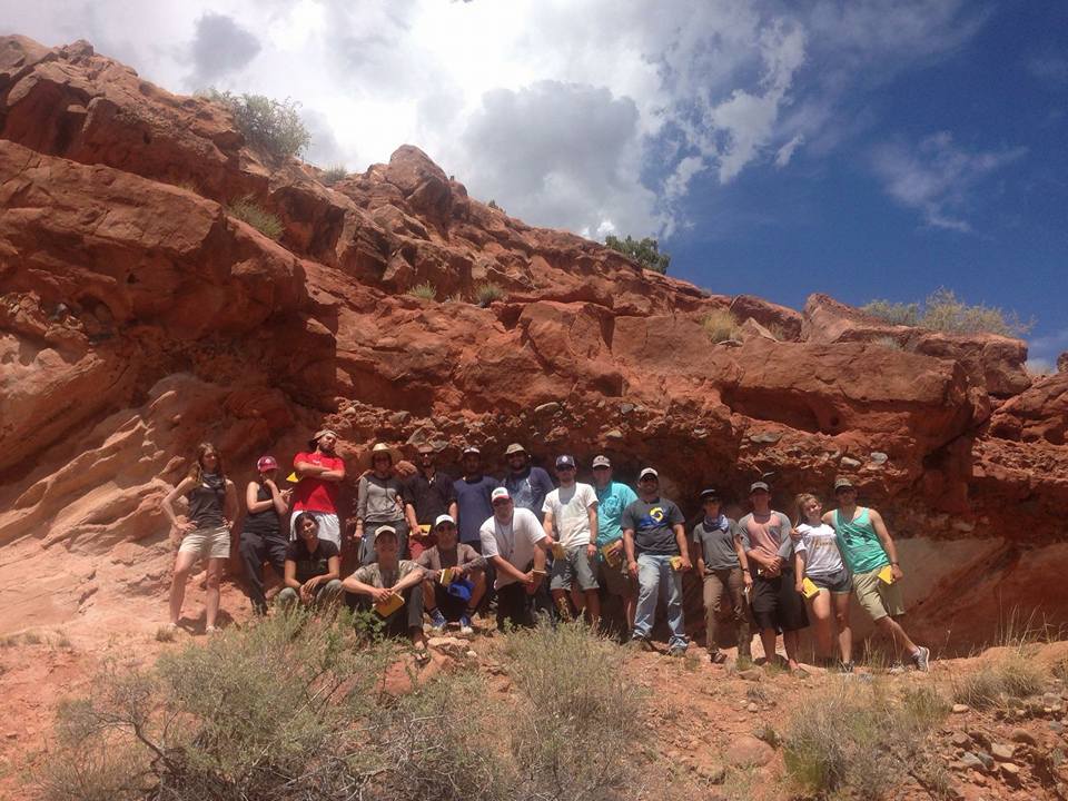
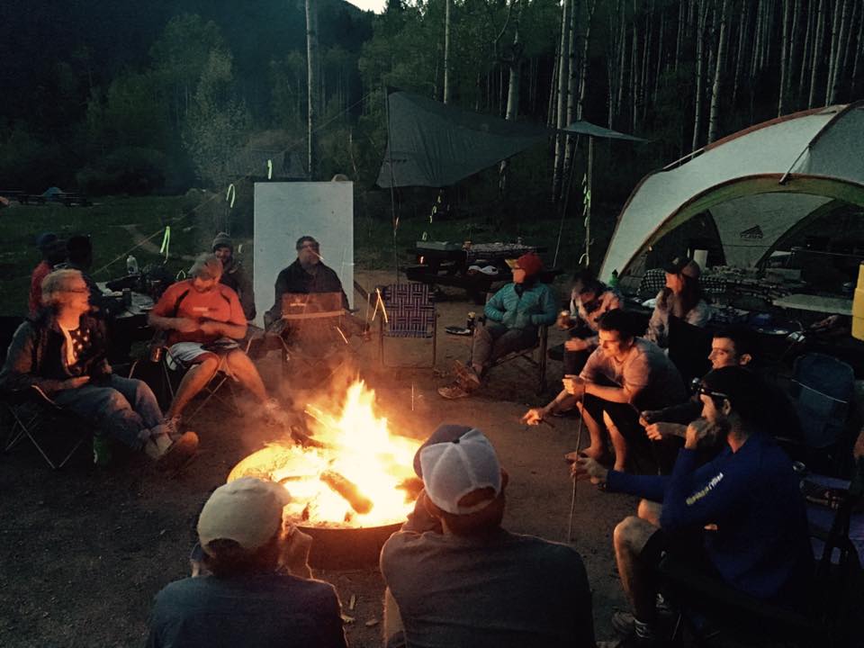
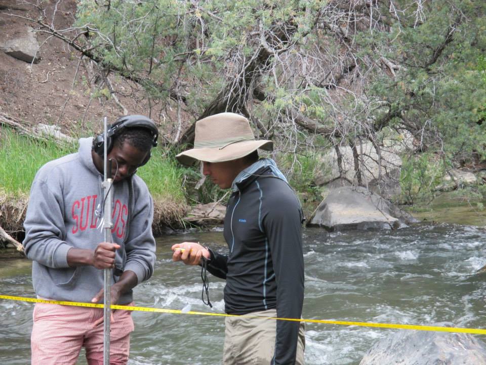
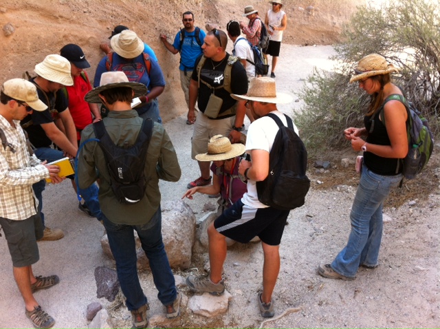
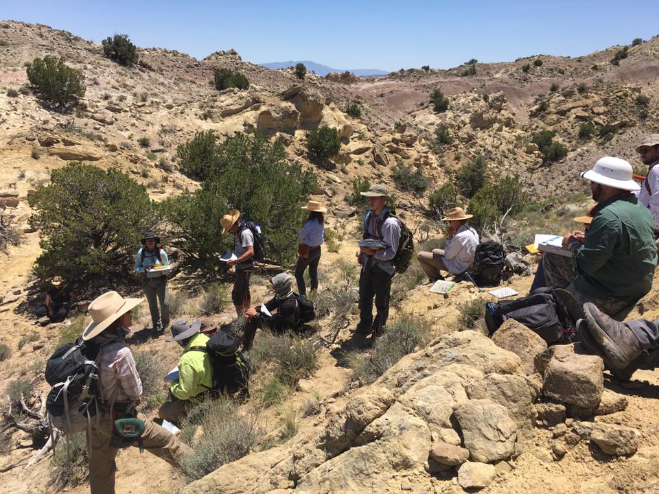
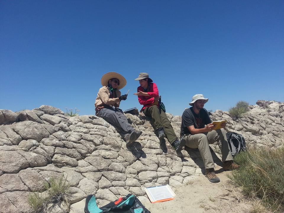
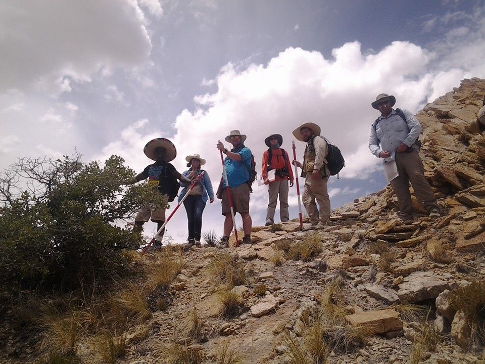
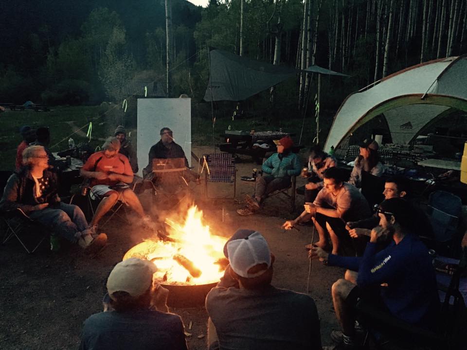
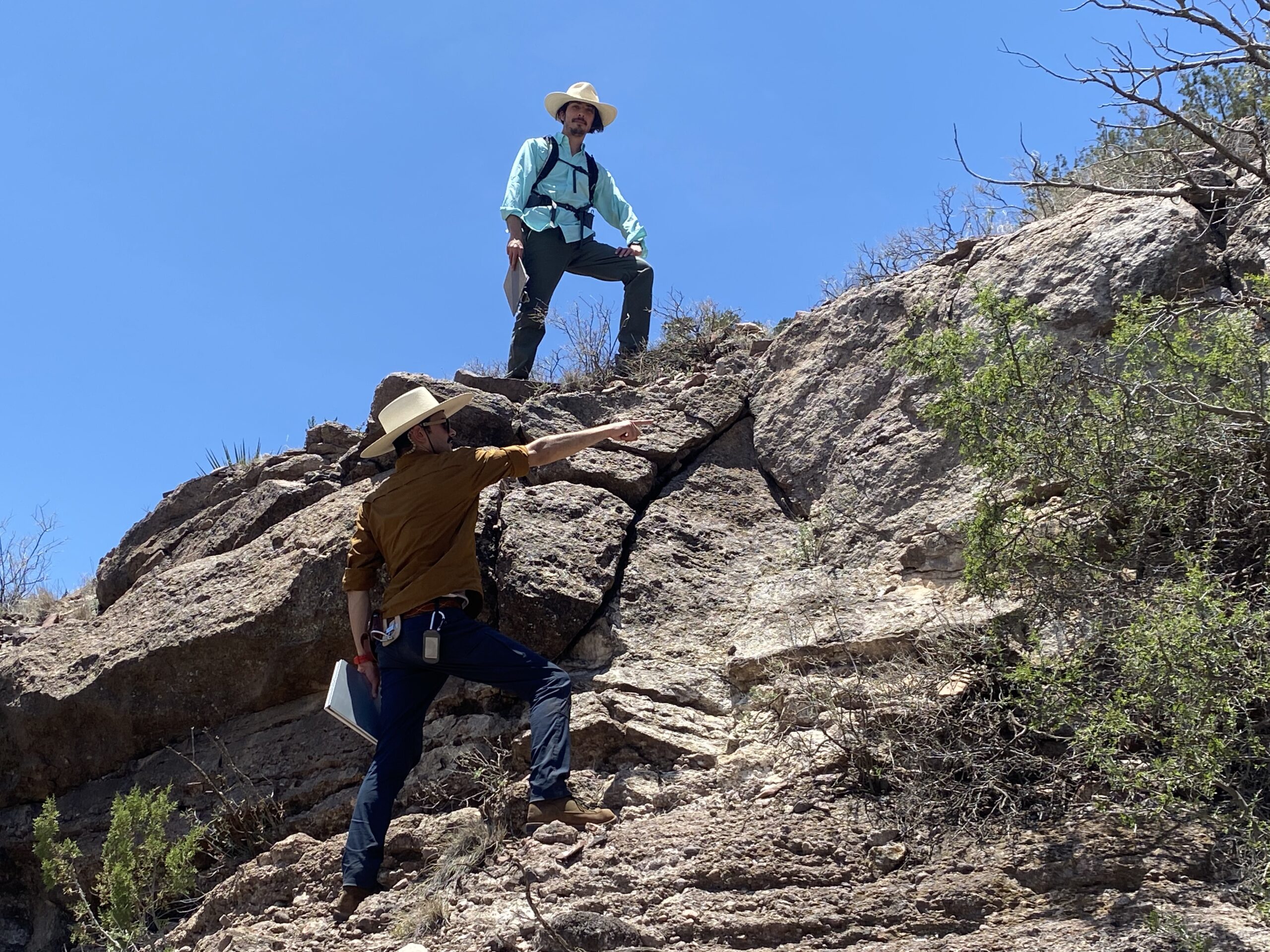
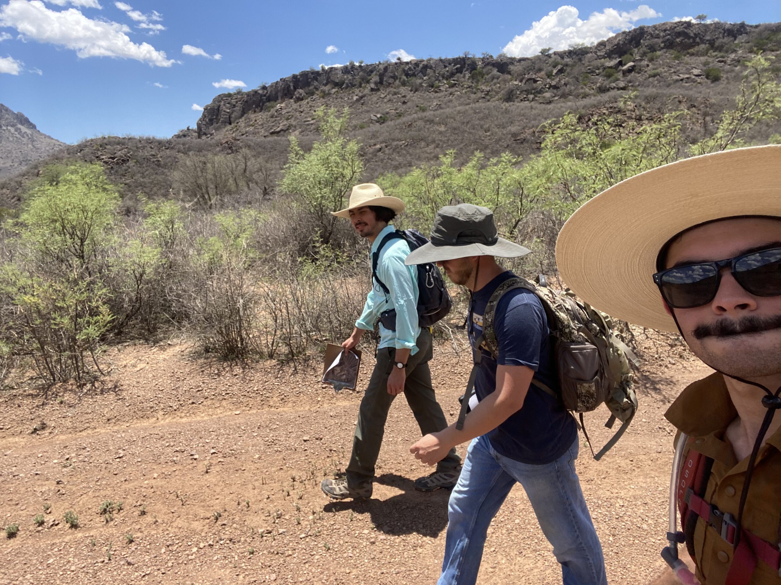
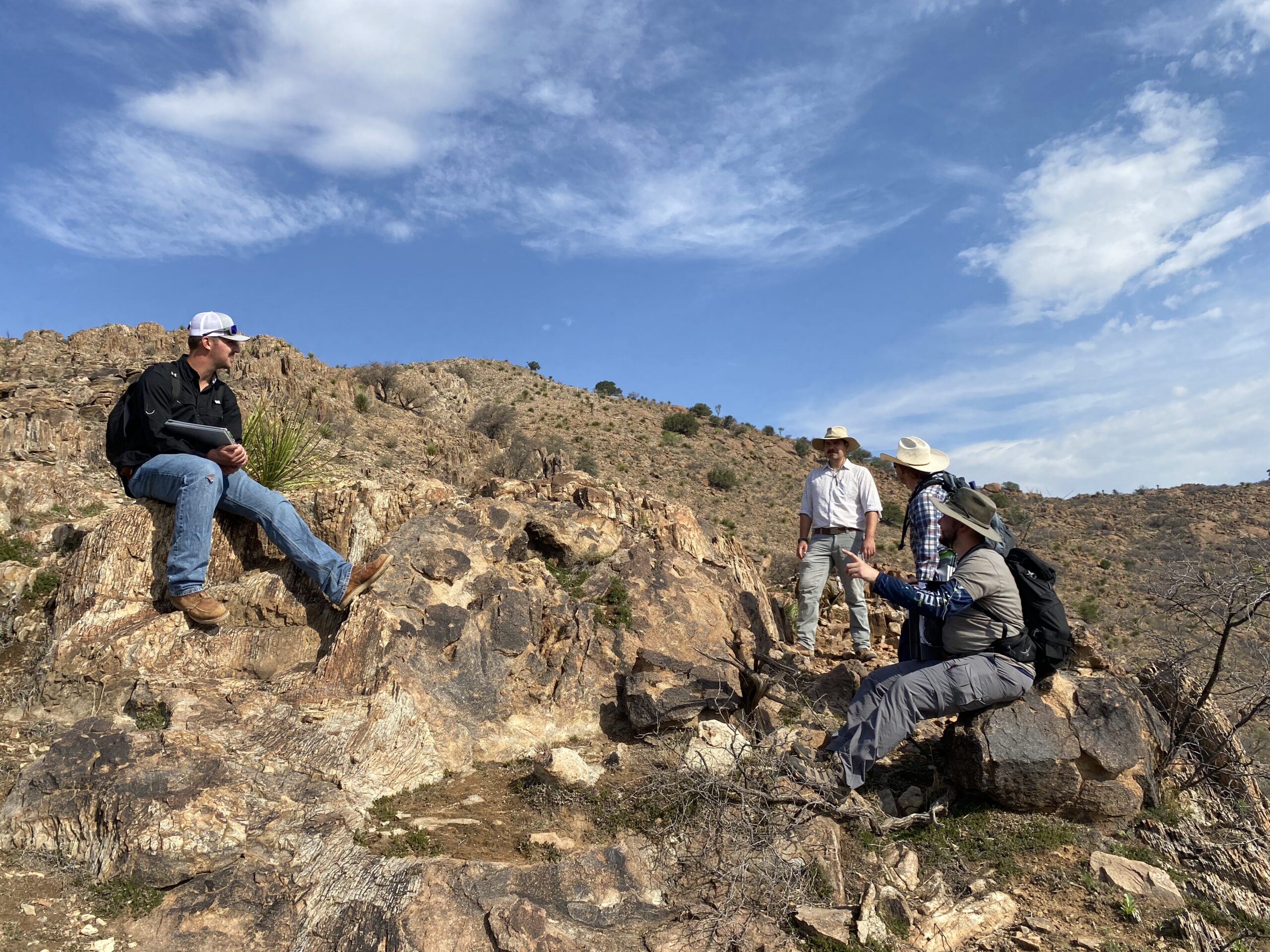
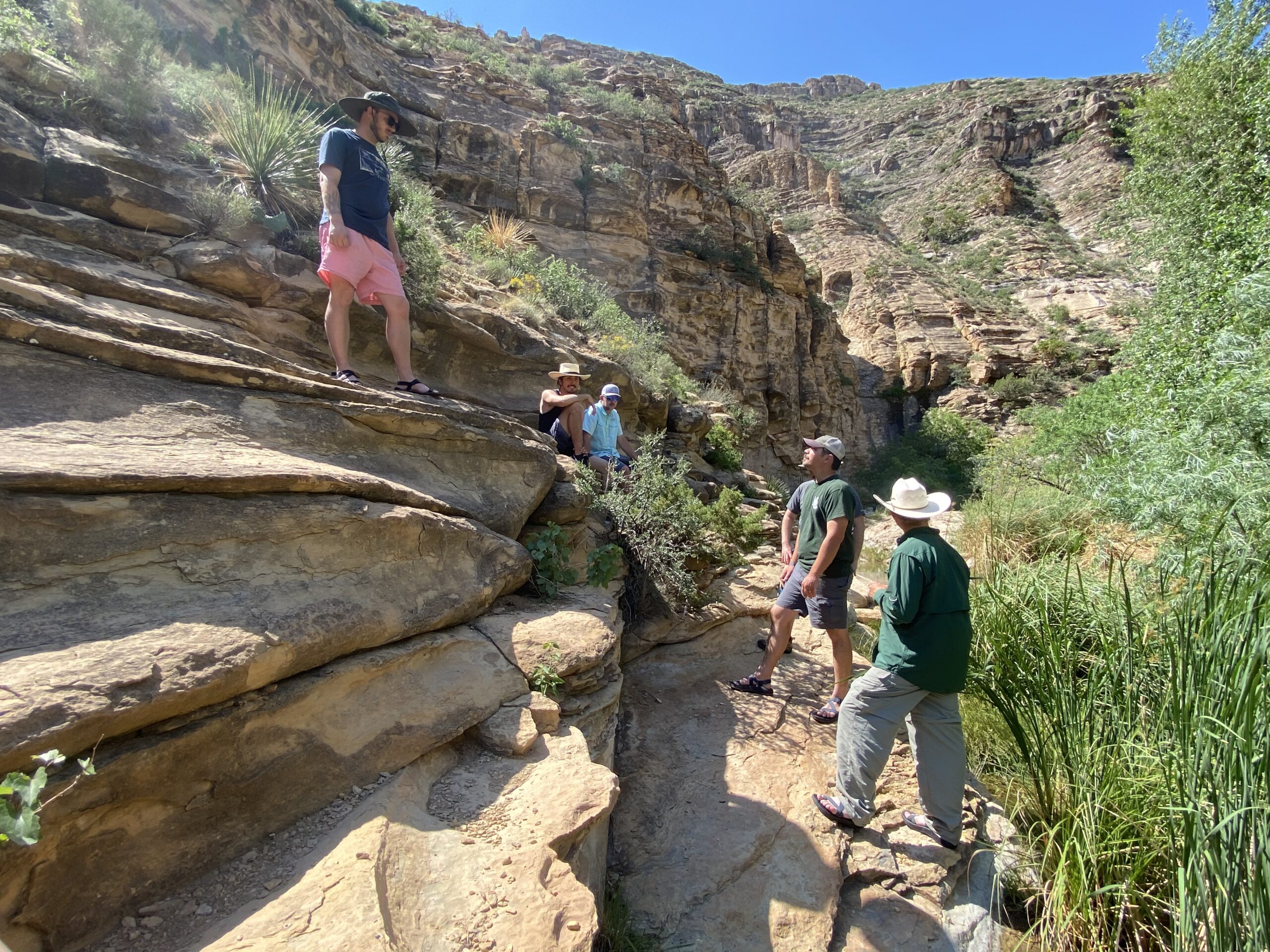
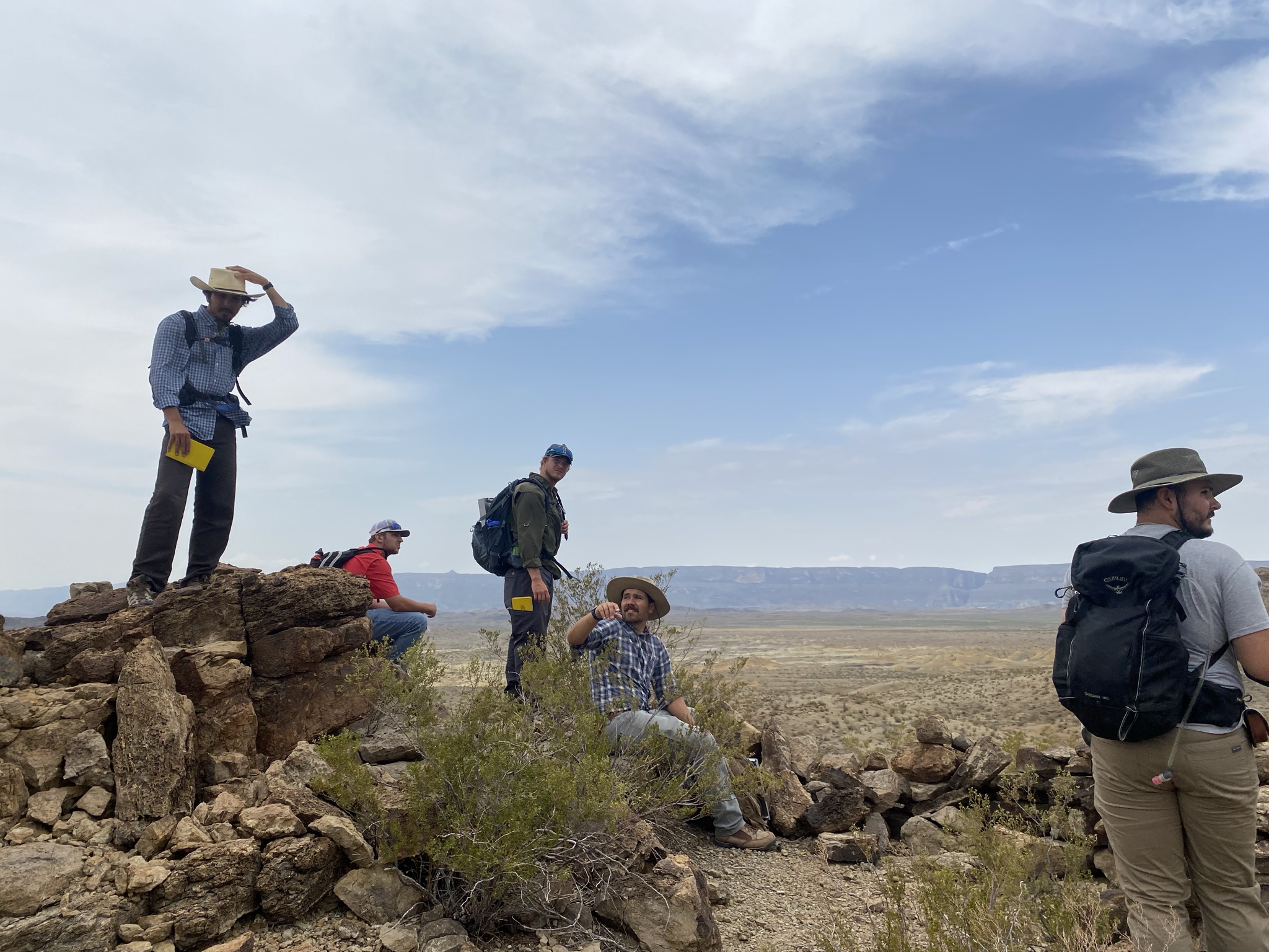
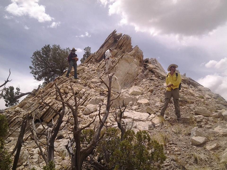
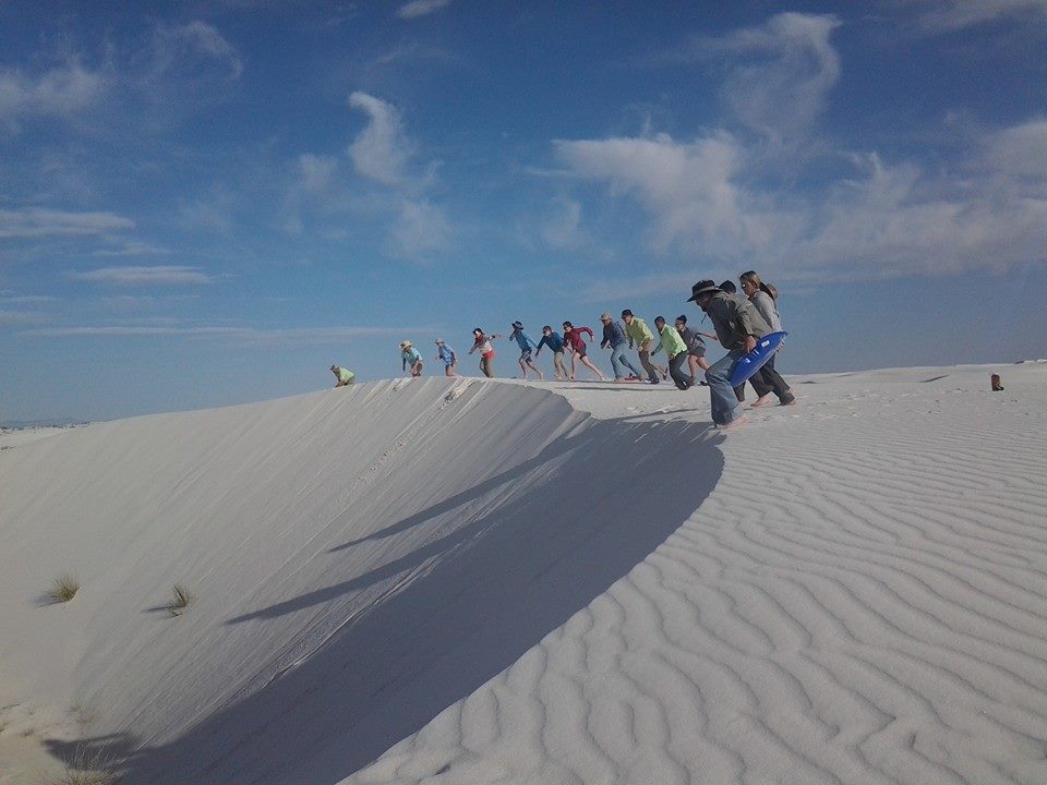
We get to know our students and camaraderie is fostered because class sizes are small and much of our education happens in the hands-on settings of lab and the field.

Students usually find a common interest with the geology faculty who have specialties in a broad range of geologic areas: vertebrate paleontology, invertebrate paleontology, igneous petrology, surface and groundwater hydrology, sedimentary petrology, structural geology, geochemistry, tectonics, sedimentology, geology of west Texas, and geology of the western United States.

WHAT: Two Bachelor of Science degrees in Geology and a Master of Science degree in Geology are offered by the Geology Program.

The geology bachelor’s degrees are designed so that our graduates can either work as an entry-level geologist in the environmental, petroleum, water, or mineral industries; work as a teacher at public or private K-12 schools; or continue study in graduate school. The master’s degree is designed so that upon completion our graduates can either obtain a job as a professional geologist or continue study toward a Ph.D.

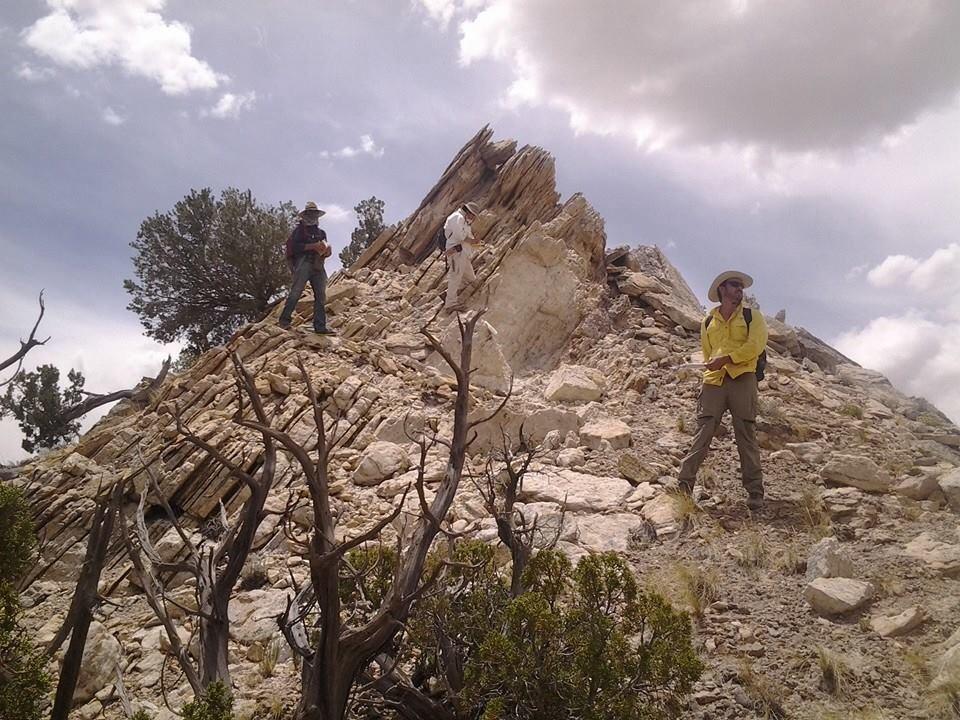
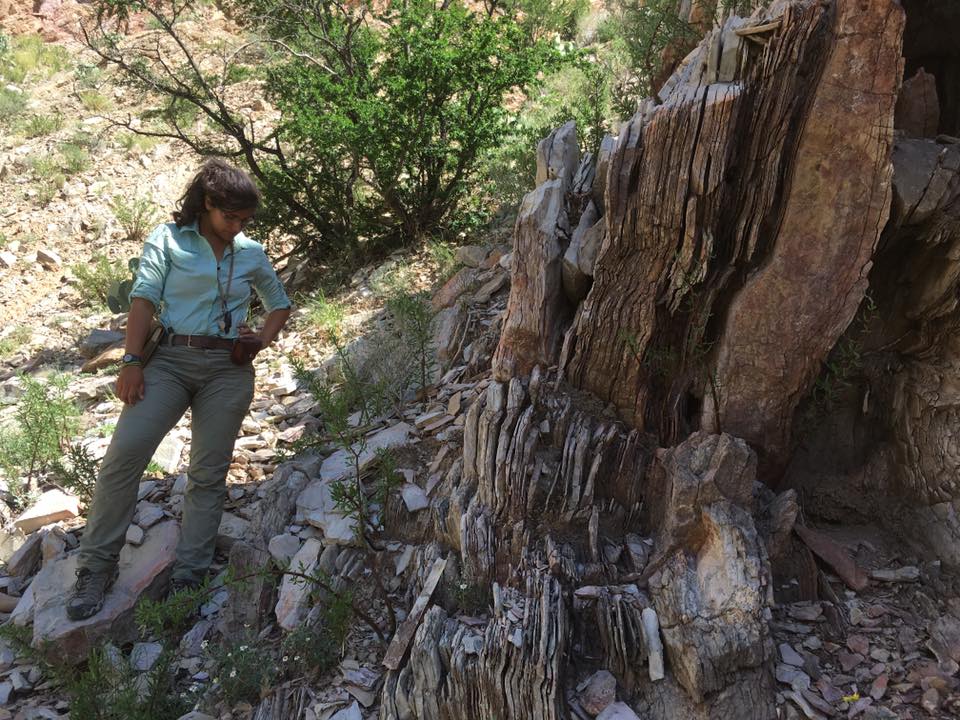
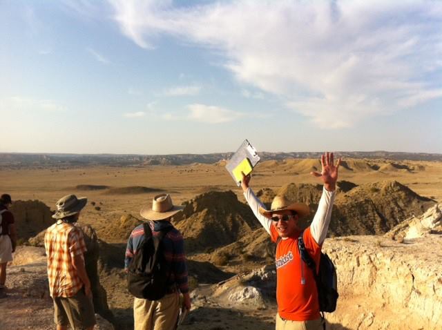
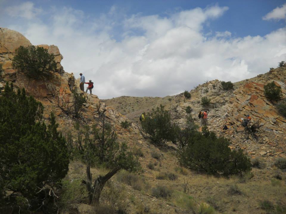
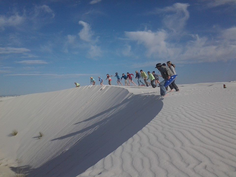
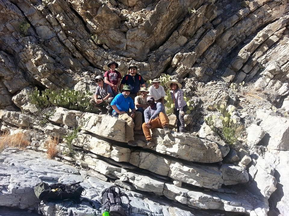
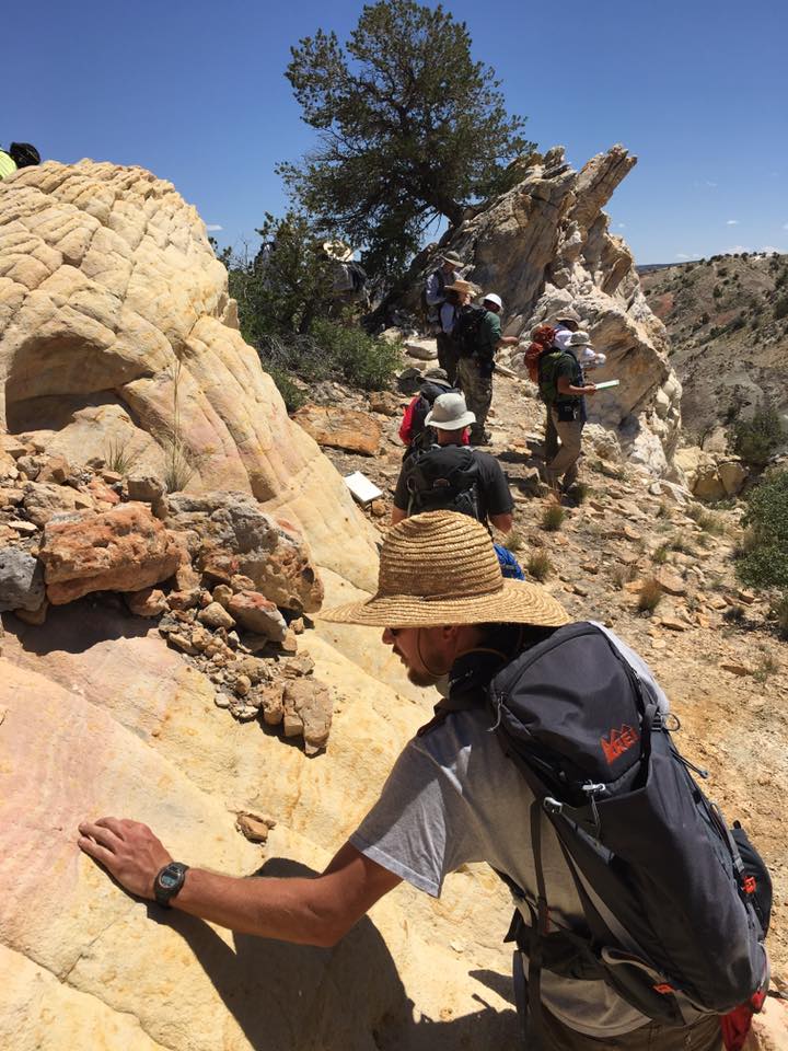
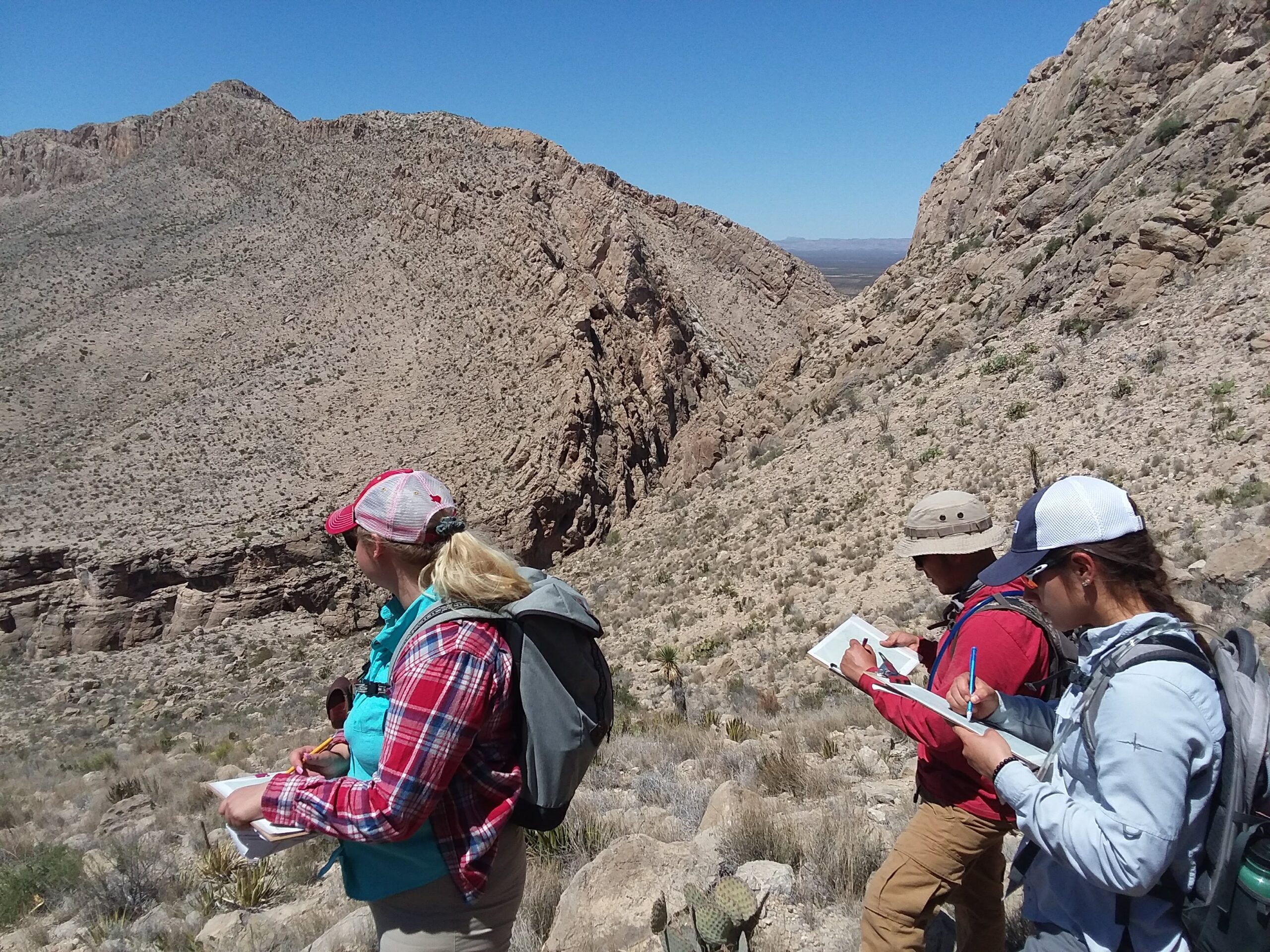
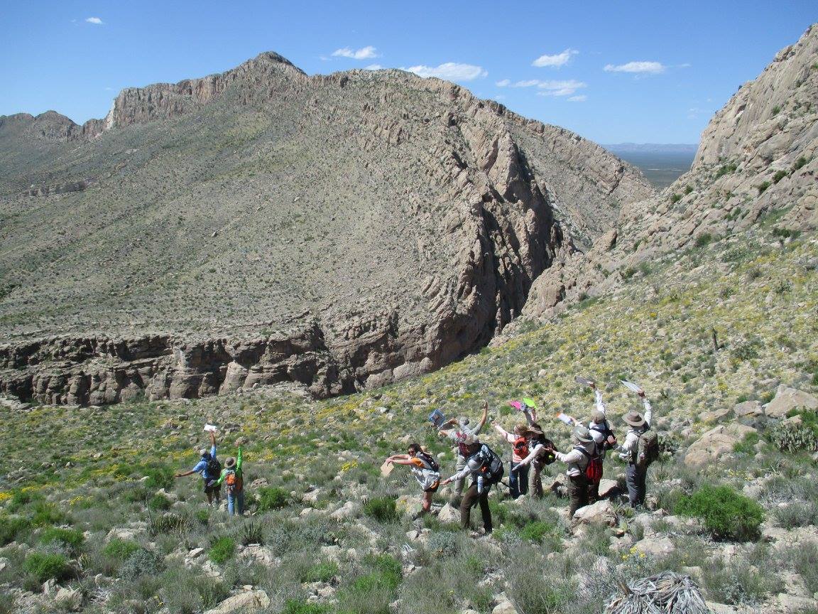
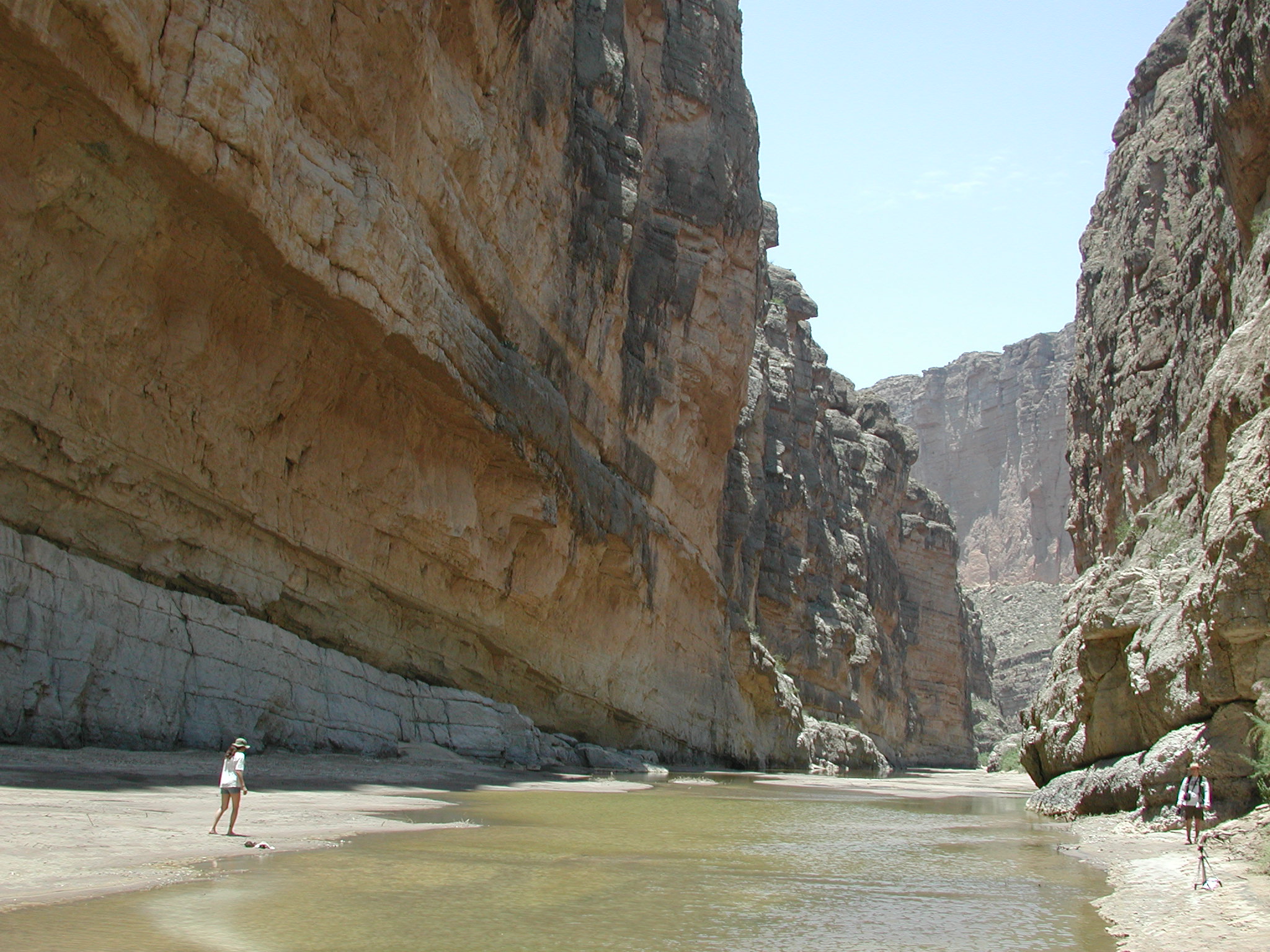
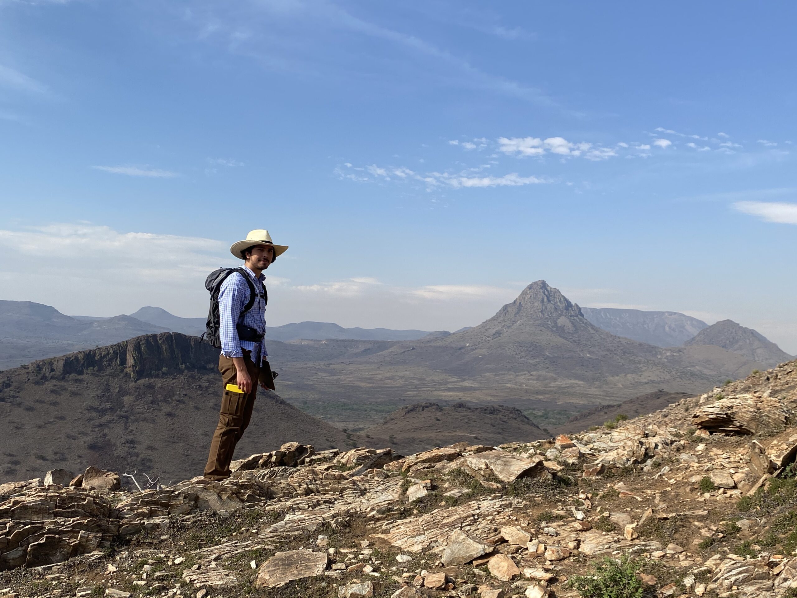
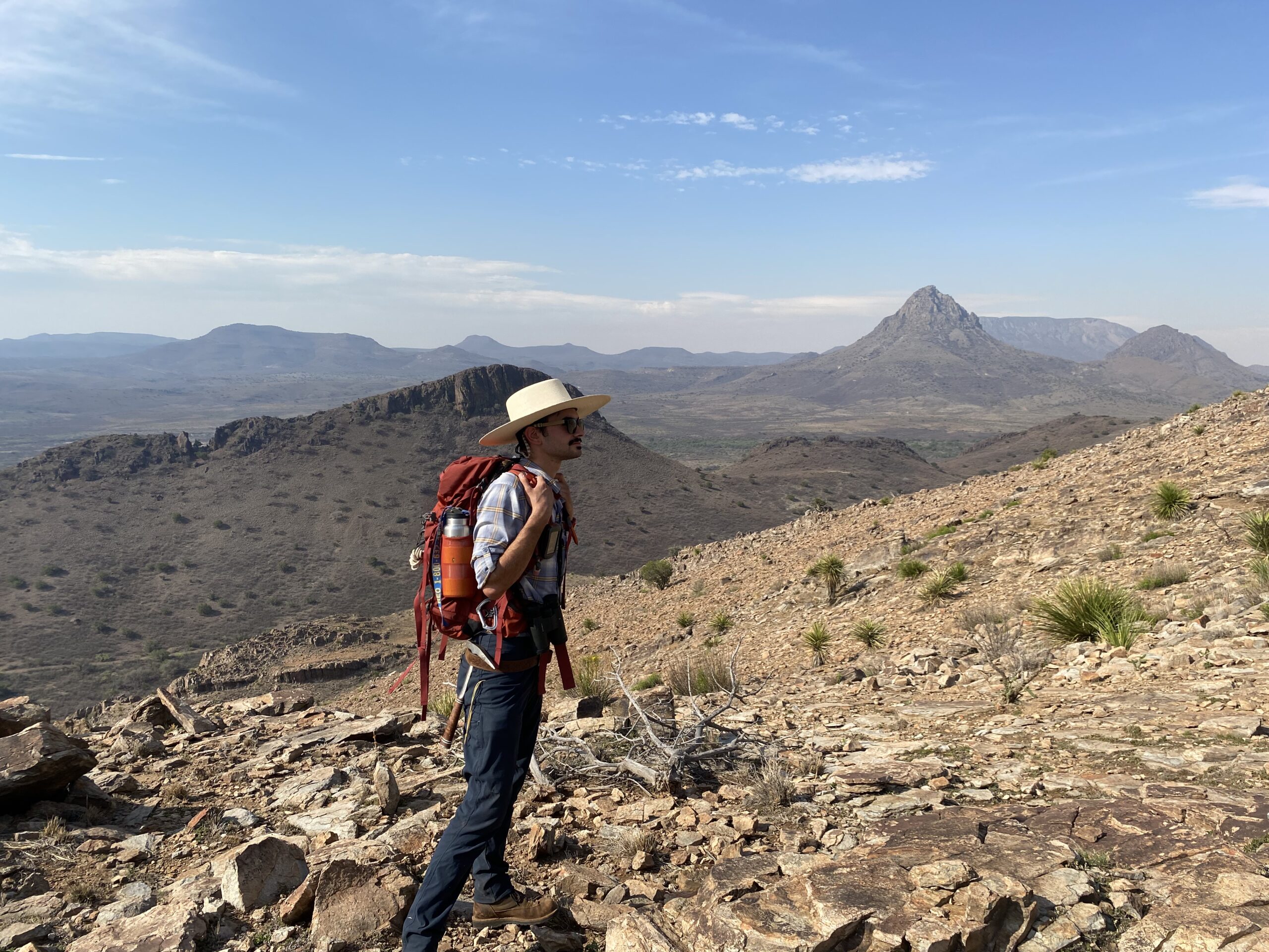
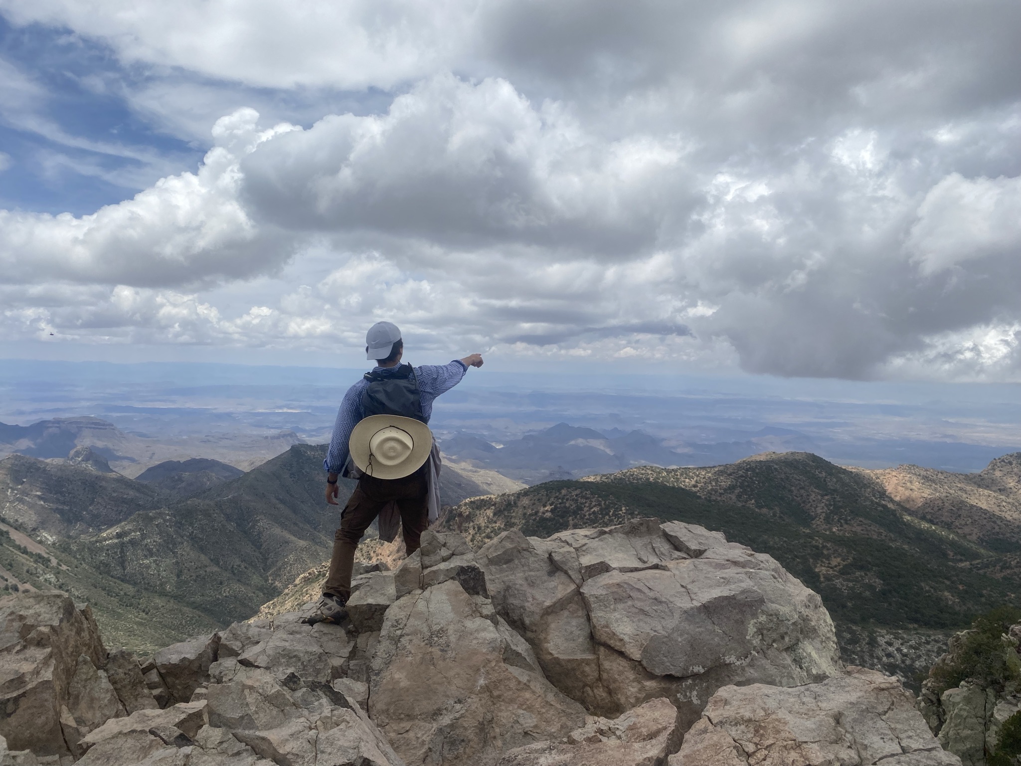
WHERE: The Trans Pecos is one of the best natural, outdoor, geologic laboratories in the United States. Local rock exposures make up some of the most striking scenery in Texas. We utilize this natural asset in most of our classes, both undergraduate and graduate, through field trips that are a fundamental part of the learning experience.

WHY: The Geology Program offers a phenomenal education and experience at a good price.

The geology faculty are passionate about Geoscience and it shows in our teaching and emphasis on experiential learning in the lab room and in the field. Sul Ross is one of the more affordable universities in Texas and it is a great place for learning, studying, working, and relaxing.

We encourage you to contact us or drop by for a visit. Individual contact information can be found under the Faculty tab.

The Geology Program thanks you for your interest.

Happy trails, adiós, hasta la vista.

SRSU @ MC

Since 2002 there has been a partnership between Sul Ross State University and Midland College (SRSU@MC) that allows students to earn a Sul Ross Geology Bachelor of Science degree and remain in Midland, Texas. Students take freshman and sophomore courses at Midland College from Midland College faculty, but take junior and senior courses, delivered to Midland College using real-time, interactive video conferencing, from Sul Ross faculty. Sul Ross Geology faculty work with the Midland College faculty to make sure the hands-on, lab and field experience is the same for the Midland students as it is for the students on the Sul Ross campus.

GEOLOGY FIELD CAMP

Interested in SRSU’s Summer Geology Field Camp?
Click the button below for more info

Catalog Links:

Careers in Geology

  • Ground Water Resources
  • Environmental Remediation
  • GIS
  • Laboratory Work
  • Research
  • Paleontology
  • Sedimentology
  • Volcanology
  • Geomorphology
  • Geochemistry
  • Oceanography
  • Seismology
  • Microgeobiology
  • Geodynamics

BACHELOR OF SCIENCE IN GEOLOGY

Undergraduate Degree in Geology

The Bachelor of Science – Geology degree prepares students for employment as an entry-level  geologist and for graduate study. The curriculum provides a solid background in geology and has been designed following guidelines from national geological organizations. Required courses cover broad areas of Earth processes, Earth history and stratigraphy, mineralogy and petrology, as well as structural geology and tectonics. Advanced electives include courses in those areas as well as in areas of Geographic Information Systems (GIS), geomorphology, groundwater, and paleontology (invertebrate and vertebrate). All courses are hands-on and field trips are commonly offered in each course. Field Geology is the required capstone course where students are expected to use and apply all aspects of the science to real-world geologic problems. (120 credit hours).

MASTER OF SCIENCE - THESIS

Graduate Degree in Geology – Thesis

Students are encouraged to opt for the 30 hour Thesis Option. The Thesis Option prepares students for employment as a professional geologist and for future graduate research at the PhD level. This option requires 24 hours of 5000-level courses, and 12 hours of thesis proposal and defense (GEOL 6301 and GEOL 6302). It requires a thesis to be proposed, written, successfully defended, and a comprehensive oral exam (involving the thesis committee only) passed.
(30 credit hours).

MS GEOLOGY - NON-THESIS

Graduate Degree, Non-Thesis Option

Thesis and Mini-thesis students may change to a 36 hour Non-thesis Option. This option requires 36 hours of 5000-level Geology courses. This degree also requires a robust literature review, on a topic approved by a Geology faculty member, and an accompanying paper and presentation. A comprehensive written exam and a comprehensive oral exam (involving the entire Geology faculty and faculty from other disciplines from whom courses were taken) must be taken and passed.
(36 credit hours).

BS, COMPOSITE SCIENCE CERT

Undergraduate Degree with Composite Science Cert

The Bachelor of Science-Geology; Composite Science Certification degree prepares students to teach Geology, Earth Science, or General Science at public or private schools. The curriculum requires basic freshman and sophomore courses in Biology, Chemistry, Geology, Mathematics, and Physics. Students are also required to take several junior and/or senior level Geology courses. This degree does not require a minor. Instead, students take 24 hours of junior and senior level Education courses for teaching certification.
(120 credit hours).

MS GEOLOGY - MINI-THESIS

Graduate Degree, Mini-Thesis Option

Thesis students may change to a 36 hour Mini-thesis Option. The Mini-thesis Option prepares students for employment as a professional geologist. This option requires 36 hours of 5000-level Geology courses. A mini-thesis, usually a one-semester project, must be written, successfully defended, and a comprehensive oral exam (involving the entire Geology faculty and faculty from other disciplines from whom courses were taken) must be taken and passed.
(36 credit hours).

Elizabeth Measures

Professor of Geology & Geology Program Coordinator

measures@sulross.edu


Kevin Urbanczyk

Professor of Geology

kevinu@sulross.edu


Thomas Shiller

Associate Professor of Geology

thomas.shiller@sulross.edu


Jesse Kelsch

Assistant Professor of Geology

jkelsch@sulross.edu

Geology Field Camp

Information on SRSU Field Geology Summer 2026 coming soon.

Our Outdoor Laboratory

Sul Ross State University, located in mountainous far west Texas, is an ideal locale for geologic studies. The campus is surrounded by the Cenozoic-aged Trans Pecos Magmatic Province. A short 20-minute drive from campus is the Marathon Basin and the Glass Mountains (including the Marathon-Ouachita fold and thrust belt) with exposures of Paleozoic-aged sedimentary rocks. The Christmas Mountains, owned by the Texas State University System and only 70 miles from campus, expose Mesozoic-aged sedimentary rocks and Cenozoic-aged igneous rocks. Big Bend National Park, Davis Mountains State Park, and Big Bend Ranch State Park are all within 100 miles of the campus and Guadalupe Mountains National Park and Carlsbad Caverns National Park are within 200 miles of campus.

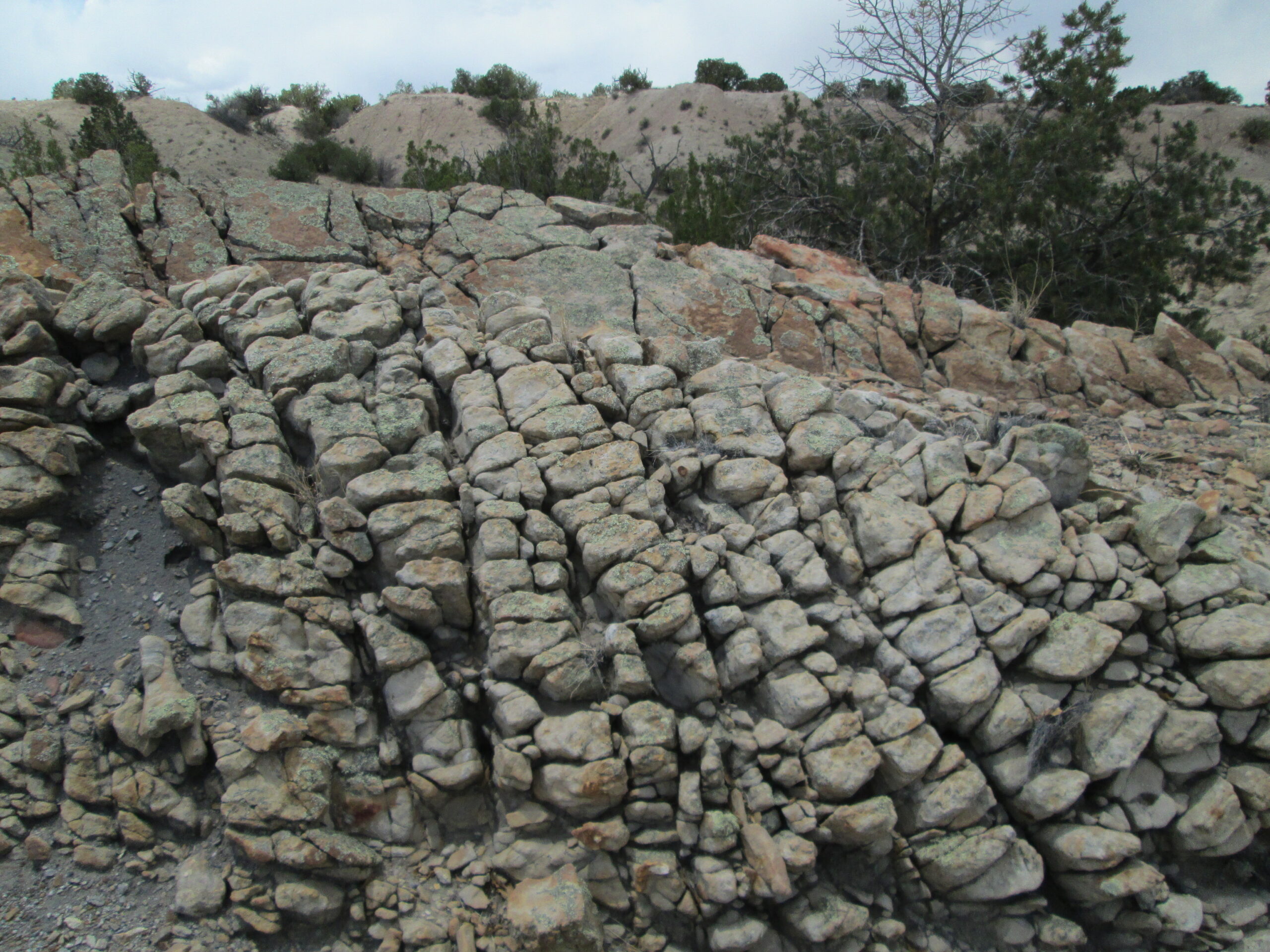
Notable geologic features in and around these parks include significant karst and cavern development, the Permian reef system, exposures of lavas, welded tuffs and intrusive rocks, large and small caldera systems, structural domes related to laccolith emplacement (the Solitario and the Christmas Mountains), and evidence of such tectonic events as the late Paleozoic Ouachita Orogeny, the late Cretaceous through Paleogene Laramide Orogeny, and Cenozoic crustal extension. Hydrologic features of far west Texas include numerous major and minor aquifers, multiple spring systems, and drainage basins of the Rio Grande, Pecos, and Devils rivers.

Learning by Doing

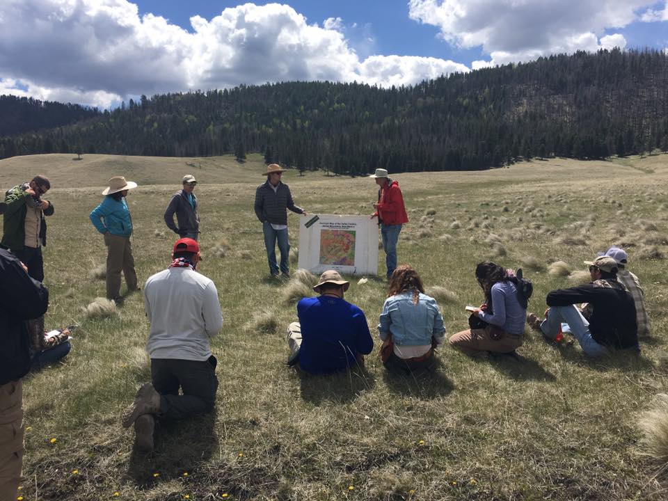
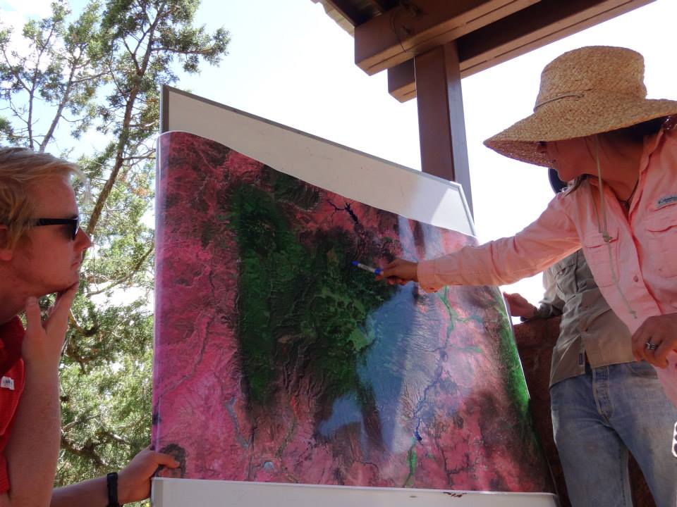
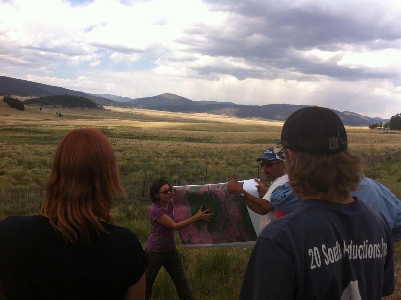
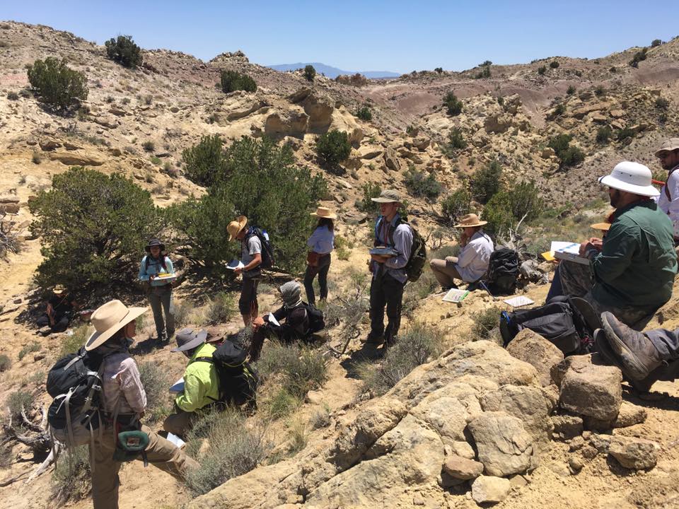
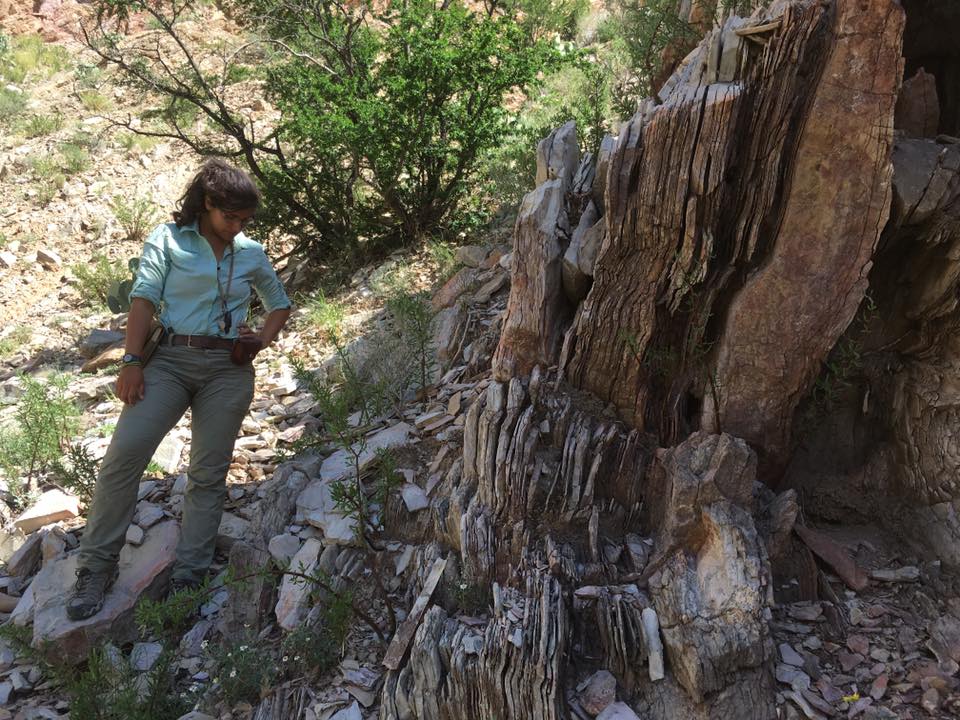
For the BS and MS degrees, the Geology Program emphasizes lab examination of samples, diagrams, and maps, and also use of computer applications to analyze geologic data. Field experience is also fundamental and requires students to use critical thinking skills and classroom information in order to describe and explain a geologic problem.

Most courses are composed of a lecture/lab format where conceptual knowledge is applied through firsthand experience with geologic materials. The curriculum incorporates hands-on work that builds students’ knowledge, skills, and experience. Day-long or weekend-long field trips are an important component of most courses and incorporate field exercises as part of course requirements. Some courses incorporate research report writing either based solely on a geologic-literature search or based on a field problem and subsequent literature search. Undergraduate students are encouraged to do a research project outside on classes and are mentored by geology faculty members.

The Geology Program curriculum is broad-based, incorporating practical application of geologic content, and so provides an excellent background that allows graduates to find employment in industry (oil & gas, hydrogeology, environmental resources, geologic hazards, and mining), state and federal agencies, teaching, or to pursue advanced Geology degrees.

Funding

The Geology Program has several merit-based scholarships. Undergraduates and Graduates are eligible for these scholarships and are encouraged to apply. Some part-time employment opportunities for undergraduates are available in the program. Also, eligible undergraduates can be funded to do research under the McNair Scholars Program.

Resources

The Geology Program is housed in the Warnock Science Building. The building has 3 large lecture halls (each can accommodate 65 students). The Geology Program uses these for guest lectures, thesis proposals and thesis defenses, and also for class lectures when doing a class to Midland College (a lecture hall has the ITV equipment that is used for Distance Education). There are 2 smaller rooms specifically designated for Geology Program use. Each of these rooms can accommodate up to 20 students and are used for lab instruction and used as lecture rooms for classes with smaller enrollment. There are 2 lab rooms that have equipment dedicated to specific fields: a GIS lab and a petrography lab. The Geology Program also has a rock preparation room where rocks and sediment are processed for classroom use, and samples are processed for faculty and student research. Finally, the Geology Program has an Analytical Lab where images of material can be made and elemental composition of material can be determined. The lab equipment can be used by faculty and students and for classes and research.

Faculty offices are also located in the building. Adjacent to the faculty offices is the Geology graduate student office with desks for 7 students. There is also a room set-aside as a student study area which can be used by any student on campus.

Equipment/materials in the Geology Program:

  • Basic field equipment includes back country camping gear, hands lenses, acid bottles, Jacob’s staffs, Brunton compasses, radios, and GPS units as well as equipment for river trips that includes 4 rafts, 15 canoes, life jackets, and trailers.
  • Teaching laboratories are equipped with mineral testing kits, hand lenses, binocular microscopes, and petrographic microscopes.
  • Labs and teaching/research collections contain hand samples and thin sections of minerals and rocks, invertebrate fossils, sedimentary structures, sand, and numerous topographic and geologic maps.
  • Vertebrate paleontology collection comprises a variety of fossil bones and bone replicas of extinct animals which are utilized in teaching labs and student research.
  • Access to several, geologically diverse, parcels of land (from 5 to 40 acres in size) in the Terlingua Ranch Properties which are owned by Sul Ross.
  • Vertebrate Paleontology research lab equipped with tools for processing and studying vertebrate fossil bones.
  • The rock processing lab includes one 18-inch and two 16-inch slab saws, one 8 inch trim saw, one lap wheel, and a thin sectioning cut-off and grinding unit for preparation of slabs and thin sections. Other equipment includes a Spex tungsten carbide and steel shatter box grinder, ceramic jaw crushers, high temperature oven, and a Spex pellet press for preparation of samples for chemical analysis. Miscellaneous equipment includes a Frantz isodynamic magnetic separator, various sizes of sieves and a sieve shaker, and non-toxic heavy liquids for mineral and microfossil separation.
  • Geographical Information System lab/lecture room is a modern GIS lab with dual monitor computers, a plotter and a site license for the latest version of ArcGIS for Desktop. For Remote Sensing applications, the lab has access to multiple copies of ERDAS Imagine. Other available technical software includes Visual MODFLOW, Rockworks, Golden Software’s Surfer and Didger, Sigmaplot, Geochemist’s Workbench and general word processing, spreadsheet, database software. The laboratory benefits from cooperative agreements with the Texas Parks and Wildlife Department, the National Park Service and Texas View. Through these and other sources, the laboratory has compiled an extensive spatial library for the Trans-Pecos and northern Mexico region, including Landsat scenes, complete coverage in standard GIS datasets (DRG, DOQ, NED, Transportation), and additional geologic, hydrologic and biologic datasets. The lab utilizes a robust network attached storage (NAS) system so that users can access the data from anywhere on campus or from anywhere with a network connection and VPN. The NAS system ensures redundant data backup. The GIS facilities have an emphasis on an interdisciplinary approach for upper-division and graduate GIS studies and for faculty research.
  • Hydrologic equipment includes Teledyne RiverRay and StreamPro Acoustic Doppler Current profilers, and a Sontek Flow Tracker Hand-held Acoustic Doppler velocimeter to measure stream discharge and bathymetry. Portable flumes are available for measuring discharge in smaller streams and springs. A Trimble RTK GPS unit and a fully robotic Focus 35 total station are available for field survey projects. These instruments can be used with the available DJI Inspire quadcopter for photogrammetry projects. Access to a RIEGL VZ-400i 3D Laser scanner which is used in combination with the other survey equipment for geomorphic change detection analysis and other 3D characterization projects. A portable particle size analyzer, field water titration and filtration equipment, and a variety of pressure transducers for measuring water levels are also available.
  • The Interdisciplinary Analytical Laboratory that houses an array of equipment accessible to students and faculty for a number of analytical purposes. Equipment in the lab includes a JOEL JSM-6010LA Scanning Electron Microscope (SEM) with an attached Energy Dispersive X-Ray spectrometer. The lab also includes a Denton Vacuum sputter coater (Au, Au-Pd, and C) for SEM sample preparation and a Branson ultrasonic cleaner. The laboratory also has an ARL Perform’X X-Ray Fluorescence Spectrometer (XRF). The lab also has a Bruker D2 Phaser X-Ray Diffractometer (XRD). The lab also houses a DIONEX ion chromatograph which is used to analyze anions in water samples.